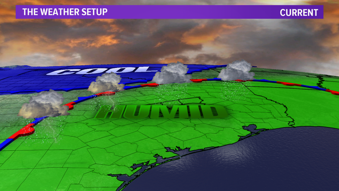
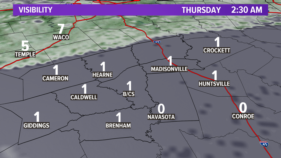
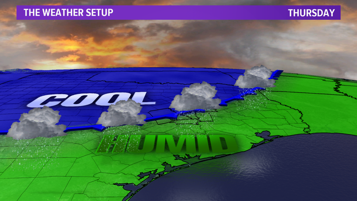
BRYAN, Texas — Warm & muggy airmass in place across the Brazos Valley as a warm front has lifted through the area into northern Texas. Temperatures will remain warm overnight in the 60s with a chance for spot showers. Rain chances increase Thursday morning as the warm front is overtaken by a cold front. That cold front will move south into the Brazos Valley by Thursday morning creating an uptick in the rain & dropping temperatures. Areas of dense fog will also develop during the predawn hours.


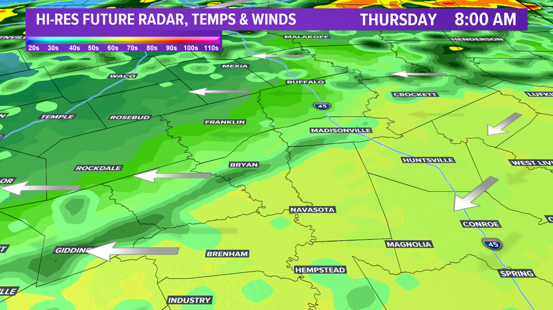

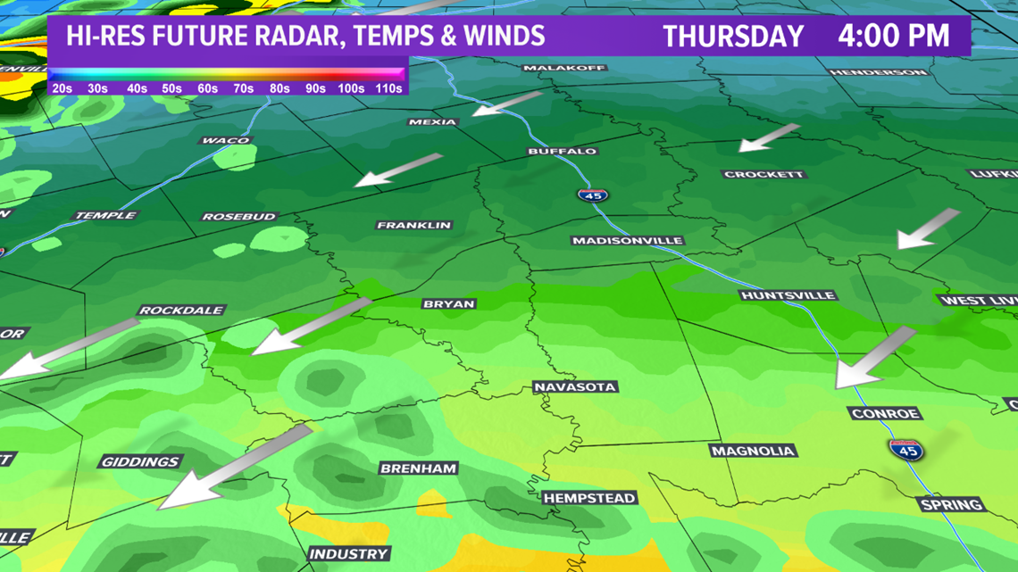
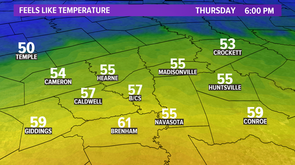
Temperatures Thursday afternoon will be heavily dependent upon the position of the cold front. It appears the cold front will move into central zones before stalling. Temperatures ahead of the cold front will be in the 70s while temperatures north of the cold front will be in the upper-40s/50s.



The cold front will lift north on Friday as a warm front. This will pull warm & moist air back north into the Brazos Valley. Temperatures will warm into the 70s Friday afternoon with spot showers possible throughout the day.

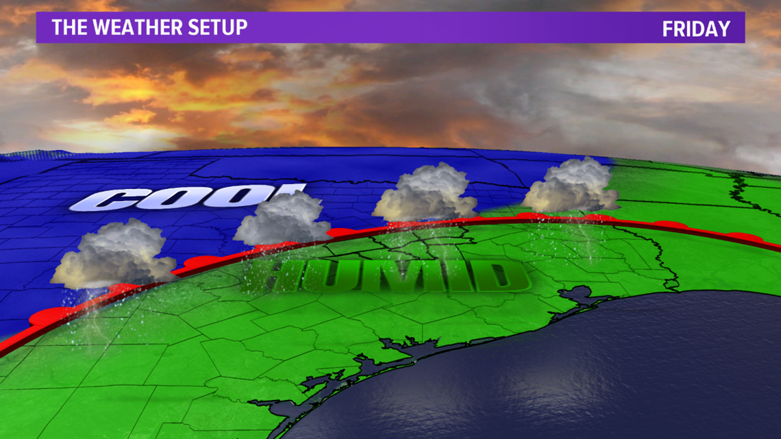
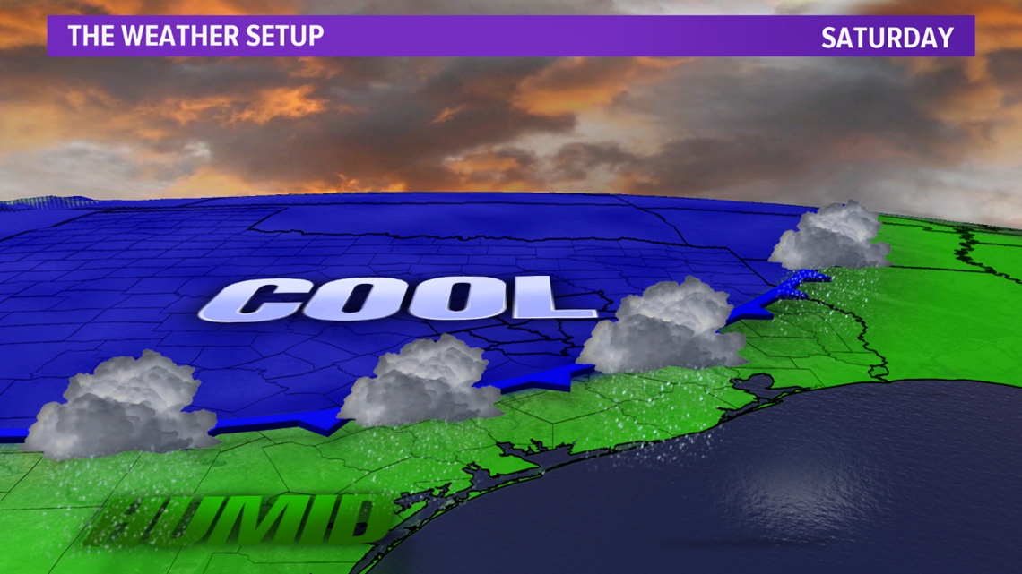
An upper-level disturbance will track north of Texas but this will aid in enough forcing to send a cold front back south through the Brazos Valley on Saturday. Temperatures will be cooler through the weekend with high temperatures in the 50s & lows in the 30s by Sunday.

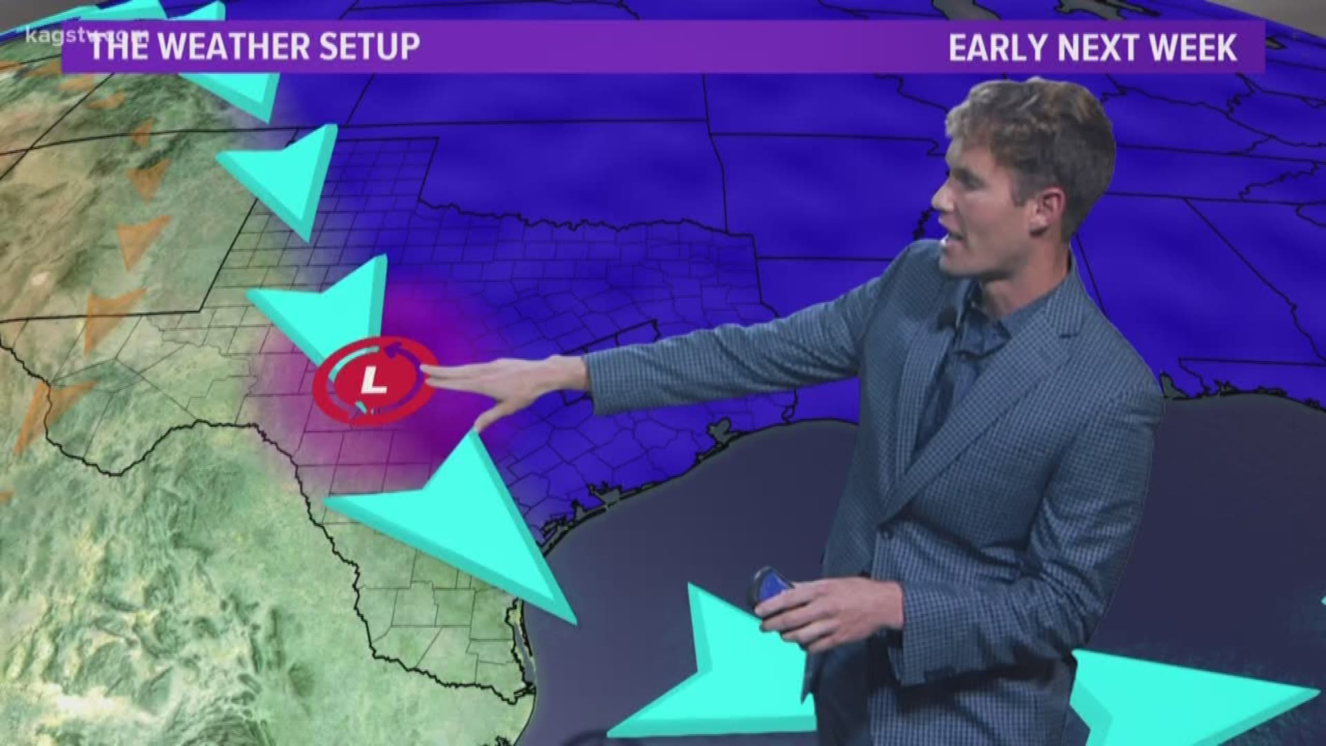
A reinforcing surge of Arctic air moves into the area early next week. This will drop high temperatures evening further early week. High temperatures will struggle in the upper-40s with lows in the 30s on Monday. A weak disturbance will move south into west Texas during the day Monday. The evolution of this disturbance remains unknown but it may aid in enough lift and tap into enough Pacific moisture to generate spotty precipitation Monday. Most of this precipitation will remain west of the Brazos Valley but a few showers may try to move in. Another disturbance should generate an uptick in moisture late-Tuesday into Wednesday. The big question now becomes how cold will temperatures get for Monday's disturbance as well as late-Tuesday/Wednesday's disturbance. We will keep a close eye on Monday's disturbance because temperatures appear to be coldest at this point. Wednesday's precipitation appears to fall as rain as models have trended significantly warmer. These events are still several days out with a lot of questions so keep checking back updates in this fluid forecast.

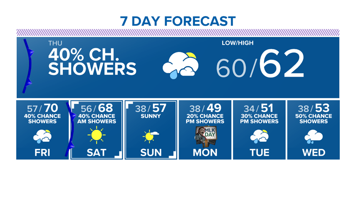
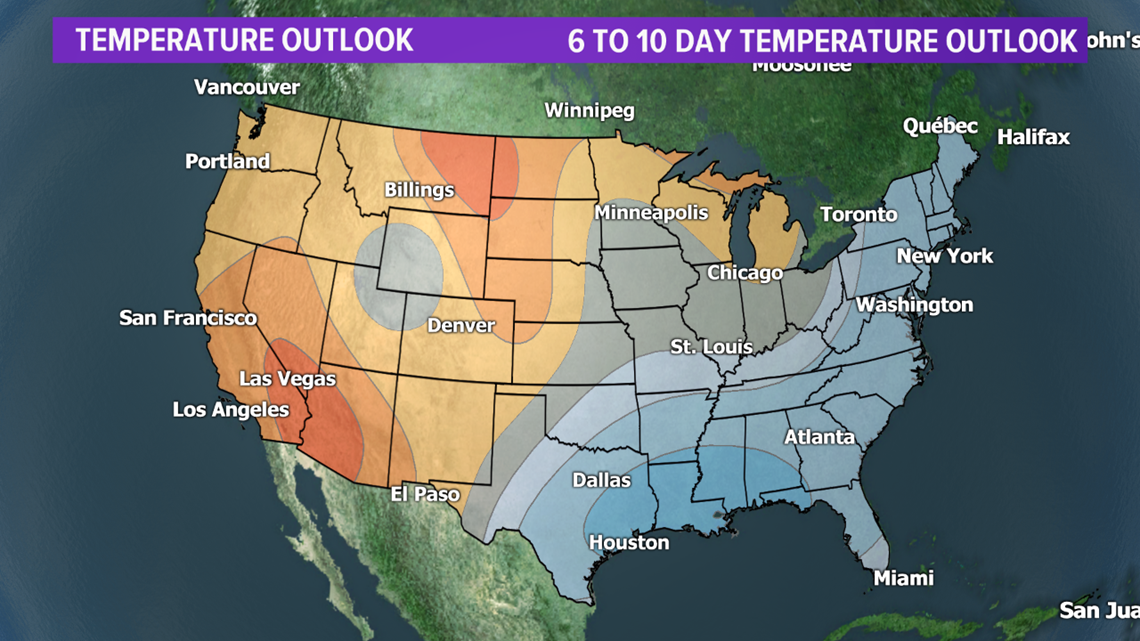
Temperatures next week appear to remain below average for the Brazos Valley. The Climate Prediction Center has the entire area highlighted in high probabilities to see below average temperatures.

