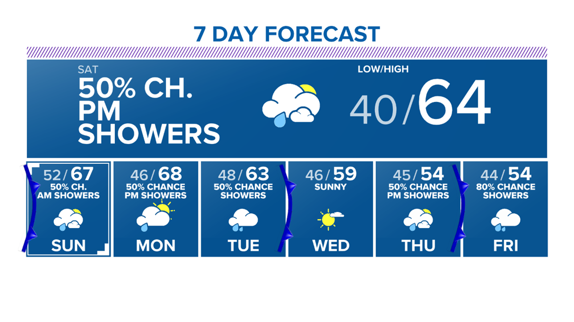
BRYAN, Texas — Temperatures will start off a touch warmer Saturday morning in the upper-30s & lower-40s. The winds will gradually flip around toward the east & southeast as a surface high pressure scoots off to the east.

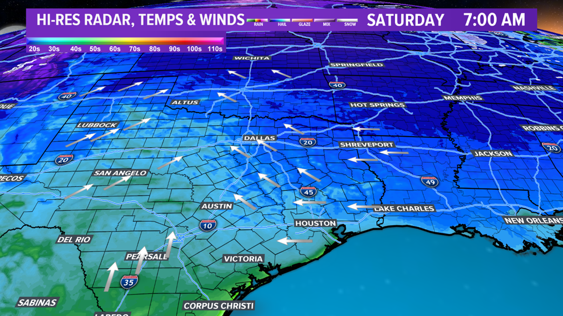
The southeasterly winds will create an uptick in moisture throughout the day Saturday and allow temperatures to climb into the mid-to-upper-60s. With the increase in moisture, and an approaching storm system, clouds will increase throughout the day on Saturday. Most of Saturday will remain dry but rain chances enter the forecast once the sun sets.

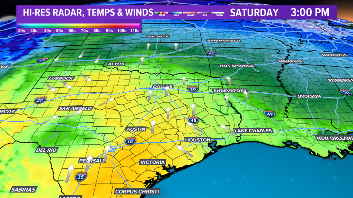

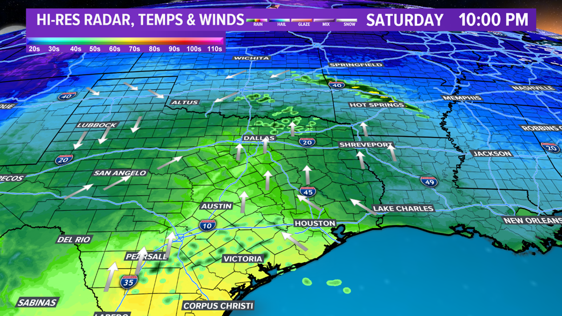
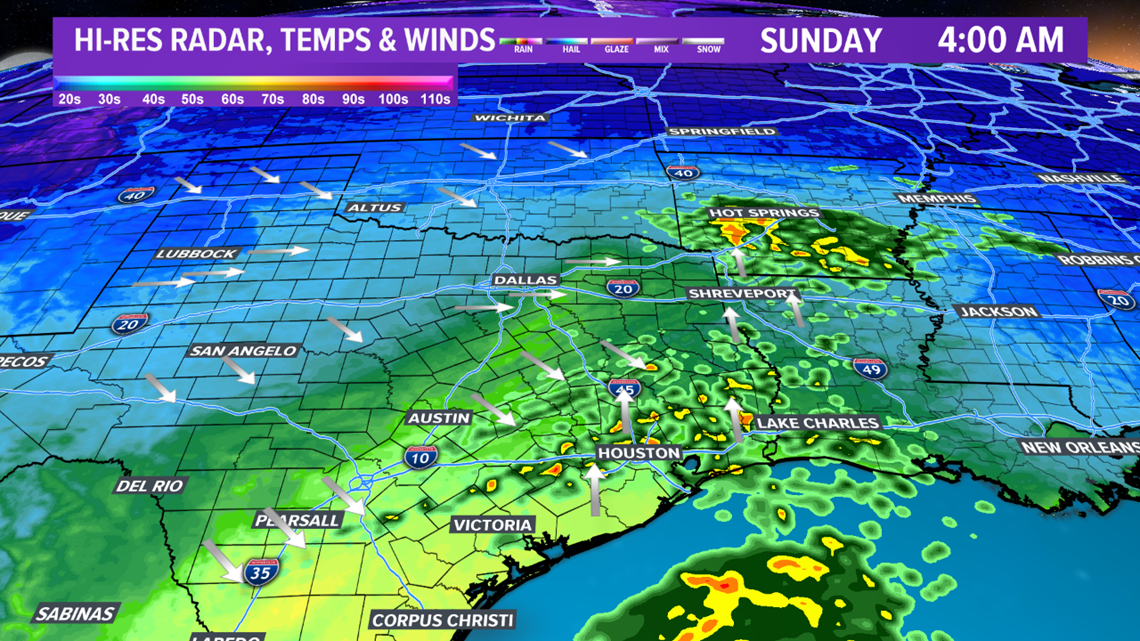
The rain chances continue into Sunday morning. The best coverage of shower activity will occur between 2:00 am through 6:00 am. The western & northern zone will see minimal rainfall while the southern & eastern zone receives 0.25"-0.50".


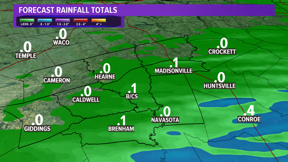
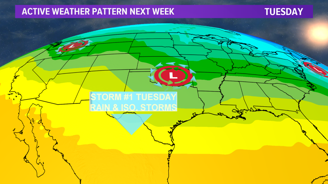
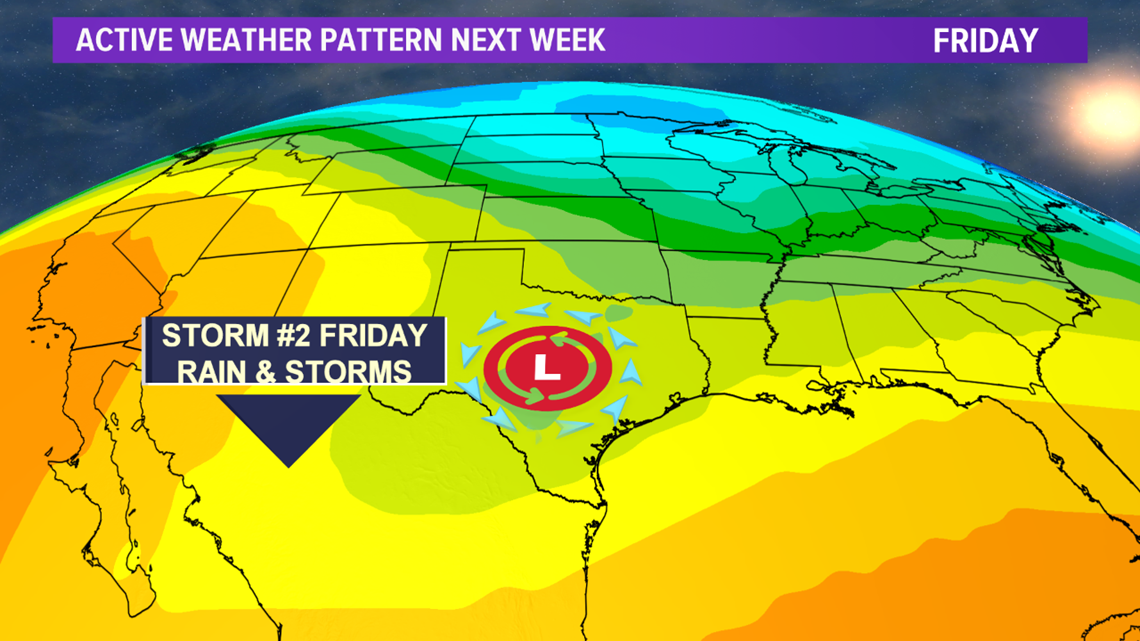
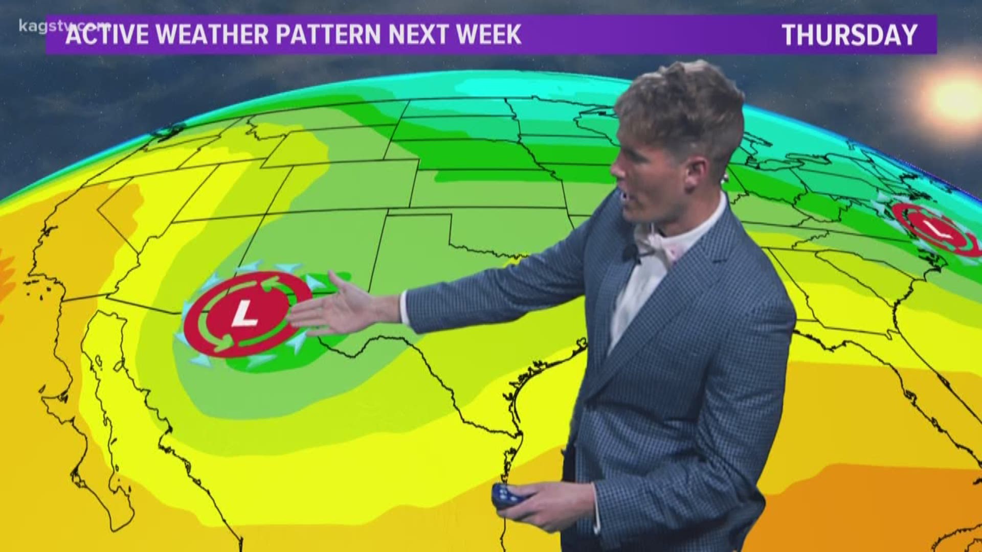
The Brazos Valley will see a brief break from the rain Sunday afternoon through most of Monday before rain chances reenter the forecast late Monday into Tuesday as a fast-moving storm system moves across northern Texas. Isolated storms & showers possible. A stronger, slower-moving storm system moves into Texas late-Thursday into Friday. This storm system will dive farther south, which will increase rain chances for the entire Brazos Valley and pull in colder air.

