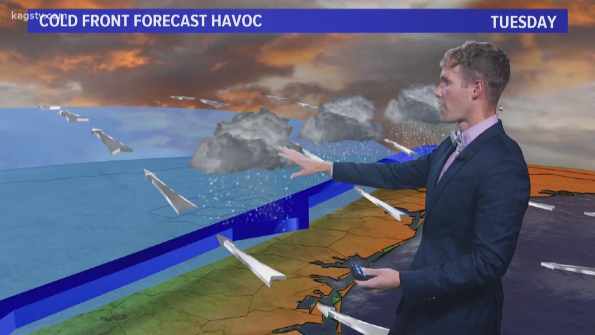
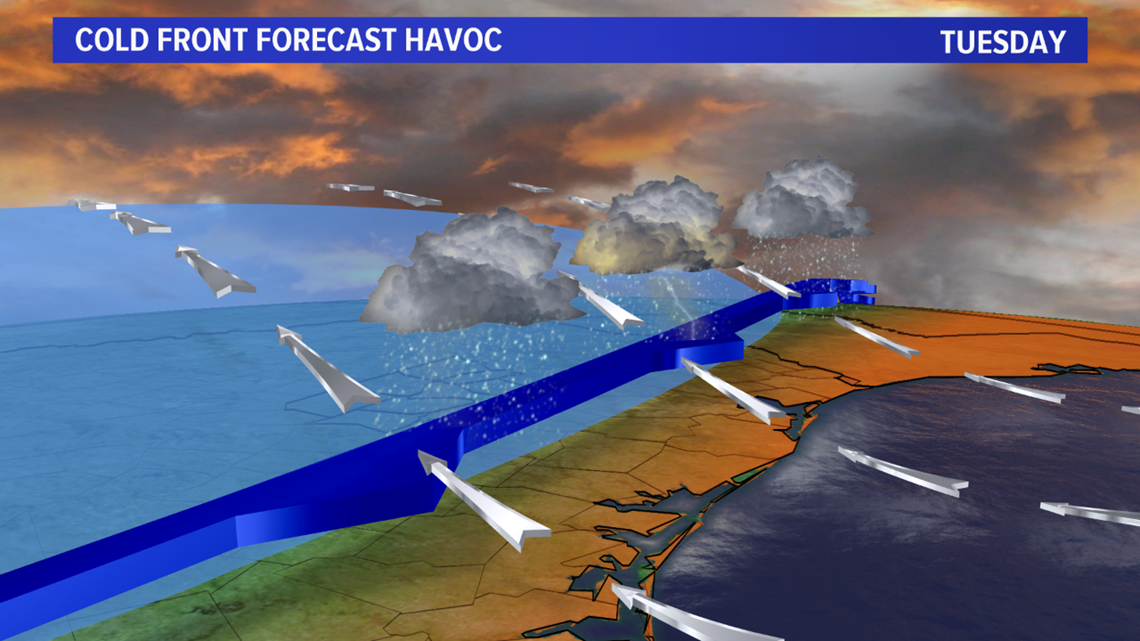
BRYAN, Texas — A tricky Tuesday forecast as a cold front meanders across the Brazos Valley. The placement of the cold front is highly uncertain and the position in which the cold front lies will have huge implications on the forecast.

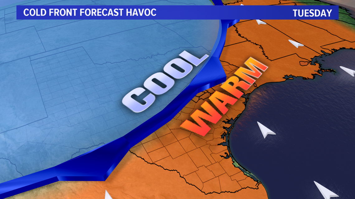
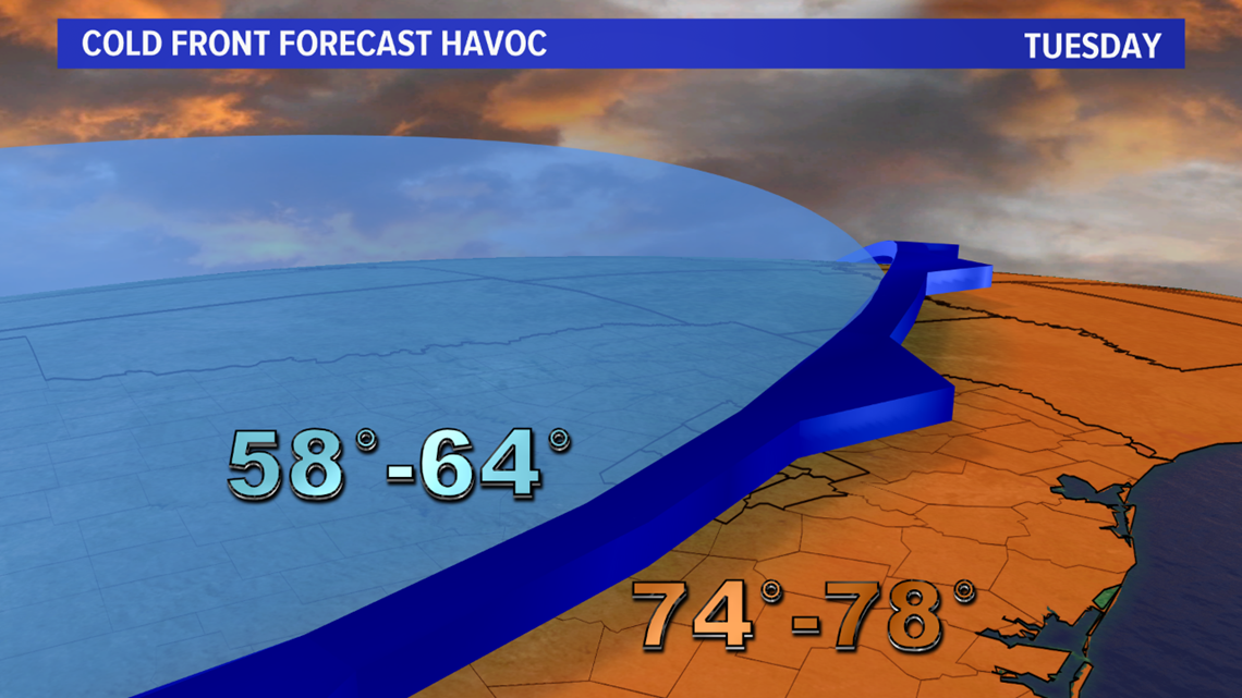
Behind the cold front, temperatures will be in the 50s & 60s with thick clouds and light rain showers; ahead of the cold front, temperatures will warm into the mid to upper 70s with a chance for afternoon thunderstorms. Numerical guidance typically struggles with these dense cold air masses and that is the case with this cold front. I believe the cold front will move farther south than guidance is indicating so I adjusted the high temperatures to reflect that for Bryan-College Station and have highs in the upper-60s tomorrow. If the front does indeed move farther south, it is possible temperatures will struggle in the low to mid 60s for BCS but I did not want to go that low with the temperatures. If the front does not make it into BCS, temperatures will skyrocket into the 70s.


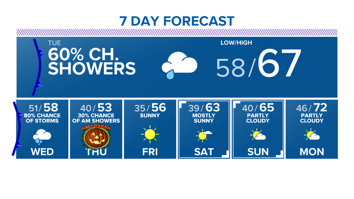
A reinforcing surge of cold air moves in Wednesday. This airmass is from Canada and is much colder. Temperatures will fall into the 30s for lows to end the week with highs in the 50s. This will be the strongest cold front of the season. Halloween will be spooky-chilly for everyone going out to partake in the festivities. Make sure the family bundles up. Wind chills will be in the 30s for Halloween. By Friday morning, the first frost & freeze of the season is likely for the Brazos Valley. BCS should see a frost with a light freeze possible farther north.

