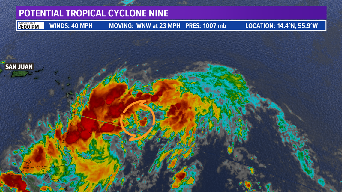
HOUSTON — The 2020 Atlantic Hurricane Season is off to a fast start. Gonzalo and Hanna become the earliest 'G' and 'H' storms on record in the Atlantic. The active trend looks to continue. Invest 92-L has now developed into Potential Tropical Cyclone Nine (PTC9), and is expected to undergo further organization and intensify into Tropical Storm Isaias over the next 12-36 hours.


A "Potential Tropical Cyclone" is a designation given to a system that is likely to develop and expected to impact land within 48 hours. This allows a forecast cone to be generation and tropical alerts to be issued.
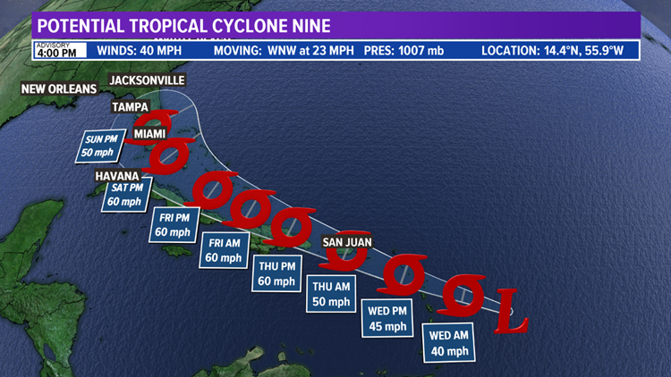
The forecast models agree PTC9 will strengthen into a Tropical Storm as it moves WNW. The models also show further strengthening into a strong Tropical Storm late-week into early-weekend. The system will slightly weaken as it moves over Puerto Rico and Hispaniola but is expected to make landfall in Florida as a Tropical Storm on Sunday.


Changes are expected in the path and strength of the system so keep checking back for updates!


