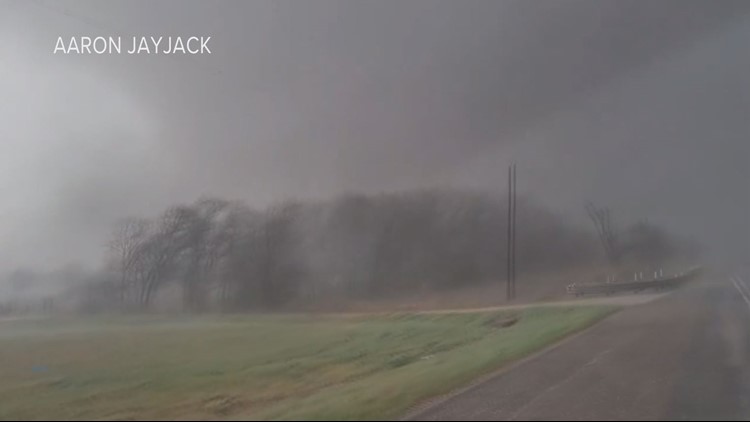
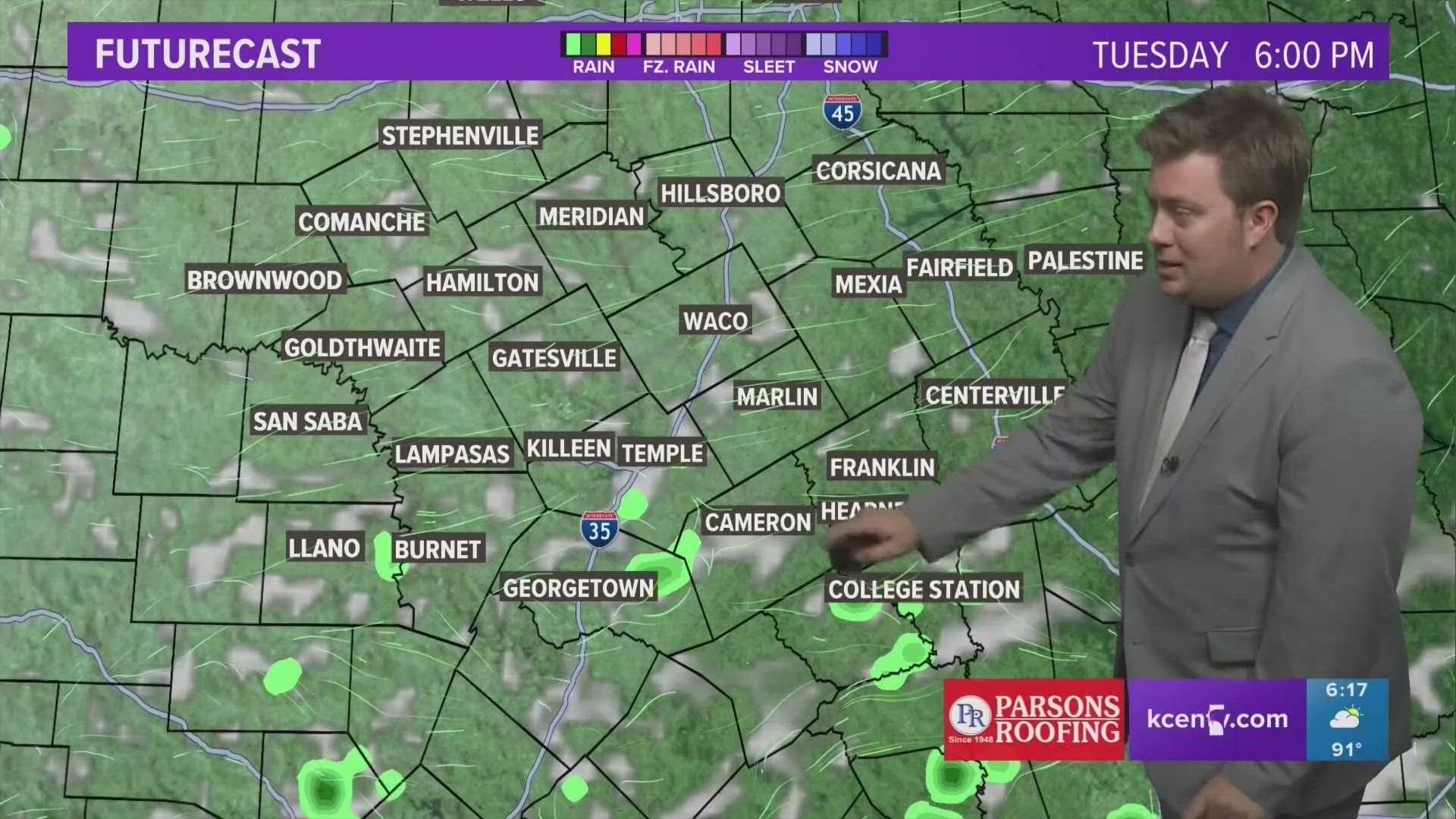
BRAZOS COUNTY, Texas — 10:20 p.m. Homes in Madison County and in Grimes County also had damage. We will update you with more information as it becomes available.
10:10 p.m. We have confirmed a home just south of Kurten may have been hit by the tornado that passed through Bryan earlier this evening. You can read that story here:
9:50 p.m. Weather spotters confirmed a TORNADO is on the ground about 11 miles from Madisonville. There is ping pong ball sized hail.
A TORNADO WARNING has been issued for Leon County. Take shelter NOW.
The Tornado Warning for Brazos County has expired. A tornado watch remains in effect until 3 a.m.
9:34 p.m. Weather spotters confirmed a TORNADO is on the ground in Madisonville.
9:15 p.m. The severe weather threat is now shifting to the east to Madison and Grimes Counties and towards I45.
A CONFIRMED TORNADO is on the ground near Iola and headed towards Madisonville. This was confirmed by a trained weather spotter.
8:53 p.m. A TORNADO WARNING is in effect for the counties of Brazos, Grimes, Madison and Walker. This is a RADAR INDICATED warning. This means there is rotation in the storm but another tornado has not been confirmed on this particular cell at this time.
8:40 p.m. A CONFIRMED TORNADO is on the ground in Bryan. This was confirmed by emergency management who spotted the twister in southeastern Bryan. It is moving around 40 mph towards the Harvey community.
The TORNADO WARNING for Burleson County has expired.
8:30 p.m. The TORNADO WARNING for Milam County has expired.
8:20 p.m. The TORNADO WARNING that has been issued for Brazos, Grimes and Burleson Counties is from a radar-indicated tornado. At this time, there is no indication there is a confirmed tornado on the ground. We will continue to monitor the situation but now is the time to take cover. It is dark and it makes the tornado almost impossible to see. TAKE COVER NOW. The warning is expected to expire for Brazos County by 9 p.m.
8 p.m. A TORNADO WARNING has been issued for Grimes County. The storm will be near Kyle Field at 8:40 p.m. Brazos County is included in this warning and Burleson County remains under a Tornado Warning.
7:40 p.m. A TORNADO WARNING has been issued for Washington County. It will be near Somerville at 8:05 p.m. Take cover now! The Tornado Warning remains in effect for Milam County until 8:30 p.m.
A Flood Watch is in effect for Grimes and Madison Counties until Tuesday.
7:30 p.m. A TORNADO WARNING has been issued for Burleson County. A tornado was spotted on the ground near Elgin and that storm is moving towards the Burleson County area.
7:15 p.m. Milam County remains under a tornado warning until 7:45 p.m. A confirmed tornado is moving northeast at 35 mph. This was confirmed by a trained weather spotter on the ground. It is expected to hit Rockdale around 7:30 p.m.
7 p.m. Austin is no longer under the threat of the Tornado Warning, however, this storm is moving towards the Brazos Valley and has a history of spawning several tornadoes.
Bob says to expect the storm to be here between 8 - 8:30 p.m. We remain under a tornado watch.
6:38 p.m. A large and dangerous tornado is moving toward Elgin moving northeast at 35 mph.
6 p.m. - Bob has confirmed there are two reported tornadoes on the ground. One is near Jarrell and heading into Bell County. The other is near Round Rock. That is the storm system that Bob says is expected to hit the Brazos Valley.
The TORNADO WATCH remains in effect at this time for the Brazos Valley.
4:20 p.m. - A CODE MAROON has been issued by Texas A&M. Due to the severe weather threat, all classes after 5:30 p.m. are canceled for the Bryan-College Station Campus. The last bus leaves the campus at 6:30 p.m. so plan accordingly.
3:15 p.m. - A Tornado Watch has been issued for the following counties in the Brazos Valley: Brazos, Burleson, Grimes, Leon, Madison, Robertson and Washington.
Remember, a watch means the conditions are favorable for a tornado to form. During a watch, it's important to remind everyone in your household about a safety plan. Where to go, what to bring and get those emergency kits prepped. Now is the time to make sure your cell phone is charged and you've got your weather radio ready. Being prepared is the best way to ride out the storm.
Much of the Brazos Valley is now included in the "moderate" – level 4 of 5 – risk for severe storms. These storms will be capable of large hail, tornadoes and damaging winds. This includes the potential for large hail that could exceed two inches in diameter and also the potential for a strong, long-track tornado.

Currently, much of the Brazos Valley is experiencing high winds and sporadic rain.
Bob says the western part of the Brazos Valley will start to see the severe weather enter their area around 4 p.m. For central Brazos Valley, severe weather will show around 6 p.m.
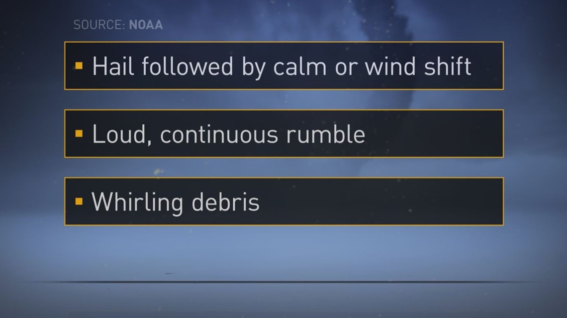
Tornado Warning Signs:

How do I send in photos or videos?
If you have any photos or videos to send us, there are a couple of ways you can do it!
You can download our app and directly upload there! Just scroll down until you see this picture with "Be a part of our team".

If you have a photo or a video, you can simply text us at 979-703-8404.
It will come directly to us. If the video is too large, try sending it through the app above!
Storm safety tips:
Severe Weather at Home
If you are at your home when severe weather hits, make sure you stay weather ready. Get to a secure location away from windows, especially if you are in a severe thunderstorm warning. Damaging wind and/or large hail can come quickly, as can other severe weather, especially tornadoes. Don't forget to bring those pets with you!
Severe Weather at School/Workplace
Stay away from windows and don't go into a large open room like a cafeteria, gym or auditorium.
If You're Outside
Find shelter immediately. Find a sturdy structure, something other than a shed or storage facility. Those are not safe. Do not seek shelter under a tree. Not only could a tree fall, it increases your chance of getting struck by lightning.
If You're in Your Car
Drive to the closest secure building and wait out the storm if there is enough time to get to safety. If you can't get to safety, park your car out of traffic and stay in your car with your seat belt on. Put your head down below the windows and cover your head with your hands, a blanket or a coat. ONLY leave your car if you can safely get noticeably lower than the level of the road.
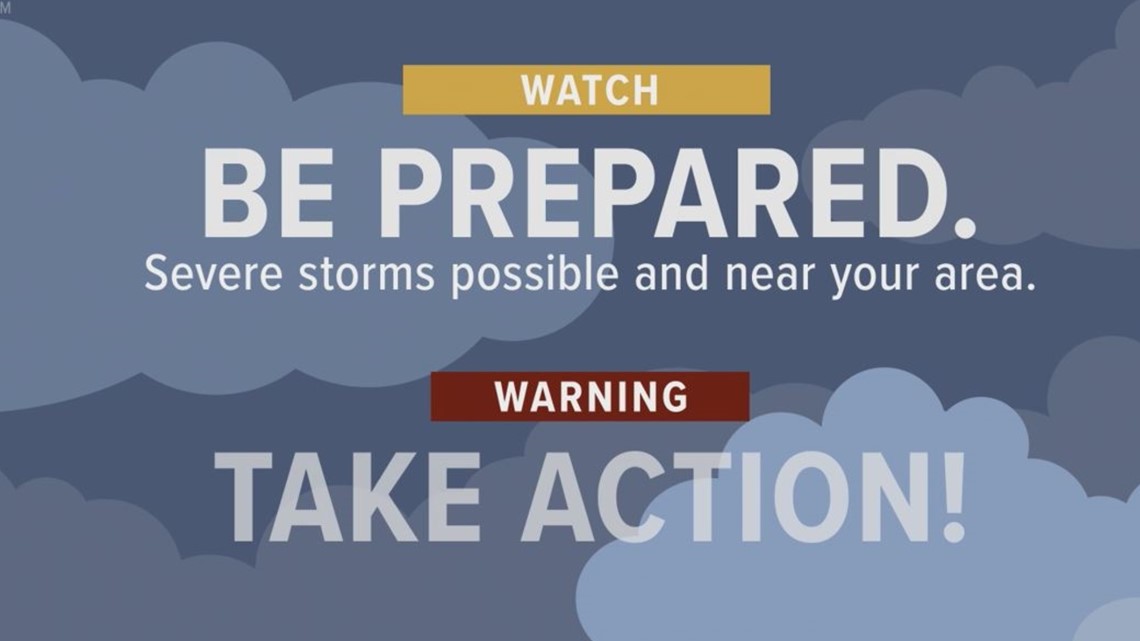
Watch vs. Warning
If an agency issues a storm WATCH, it means you should get prepared. Storms are possible or are on their way to your area. Get informed. Get your safety kit together, and prepare your pets.
If an agency issues a WARNING, take action! Warnings are issued when dangerous weather is in the area and could be life threatening. Don't go outside to watch or record dangerous weather. get to safety. While we love having you send us photos and videos, we want you to be safe. Leave mobile homes that can blow over in high winds. Warnings are not issued unless trained weather spotters/law enforcement officers who are trained to watch for weather get the information back to the National Weather Service.
Warnings mean changing weather can happen without any warning so keep on the look out!


