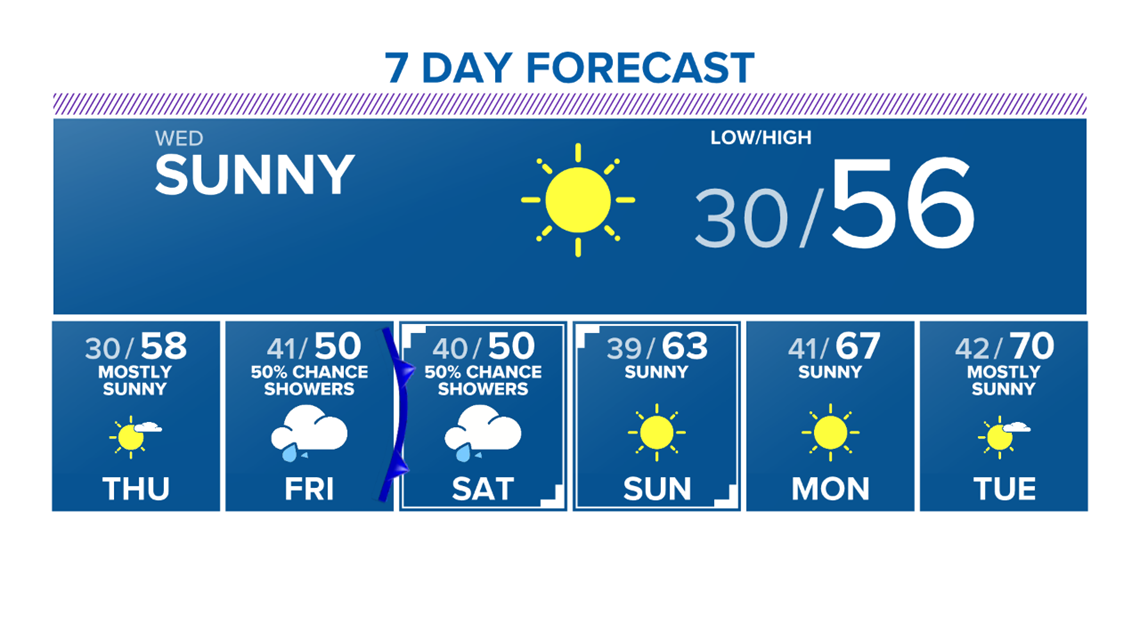
BRYAN, Texas — Temperatures will plummet Tuesday night as a high pressure builds into the Brazos Valley. This will allow the winds to lighten and ensure skies remain clear. Wednesday morning temperatures will fall into the 20s for most of the Brazos Valley with Bryan-College Station remaining in the low-30s due to the 'Urban Heat Island' around the Metro.

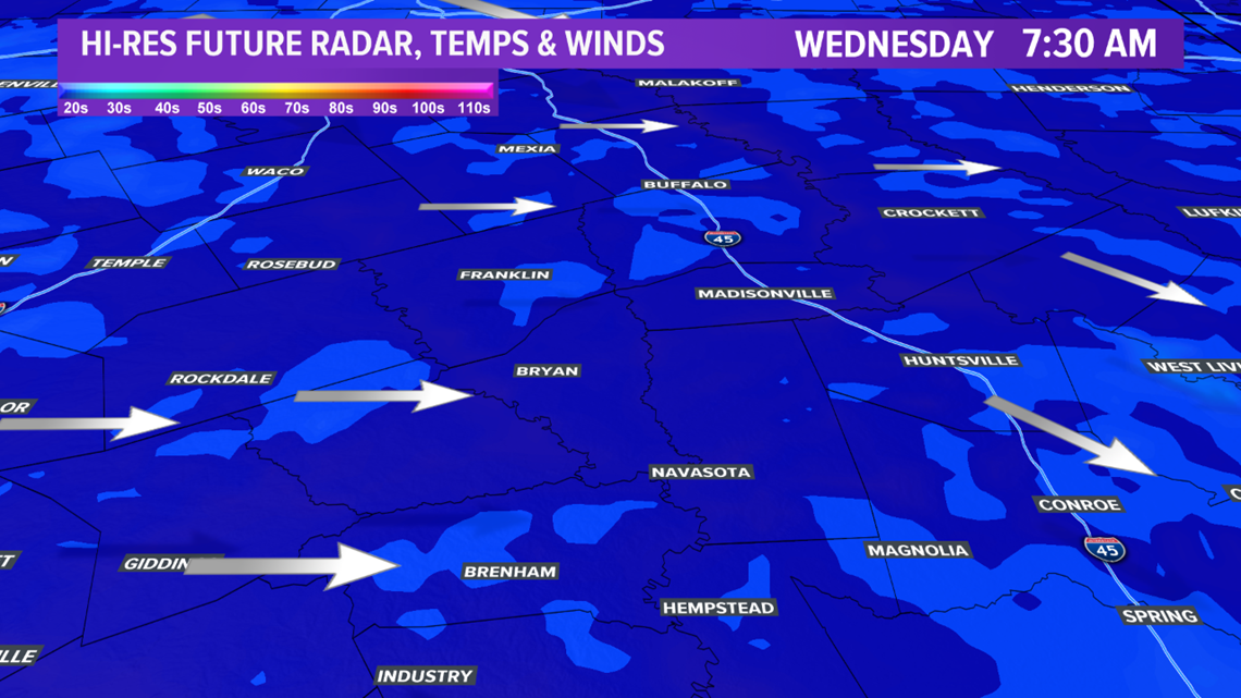
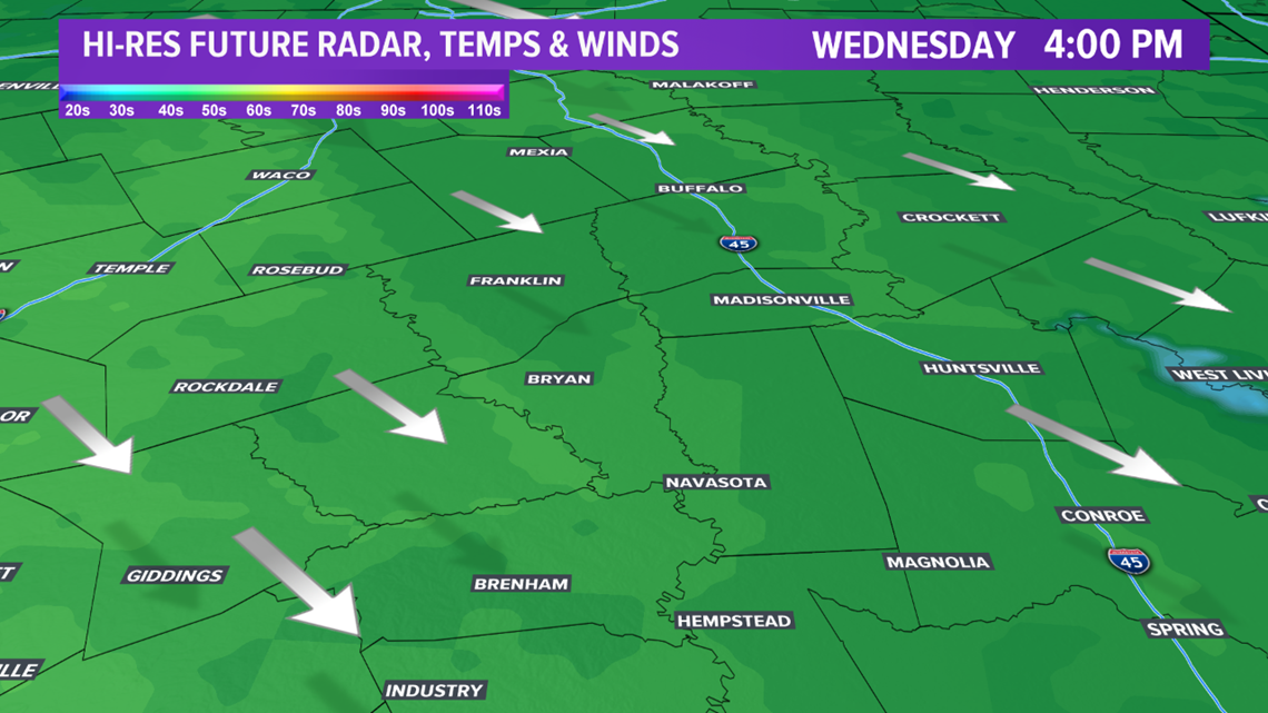
An upper-level ridge will keep Wednesday dry & relatively cool. Afternoon highs will climb into the mid-to-upper-50s. This is a few degrees below average. The ridge begins to breakdown heading into Thursday as a storm system tracks across the West into New Mexico. This storm system will flip the winds around to the south across the Brazos Valley on Thursday. The southerly winds will pull in a good feed of moisture into the area.


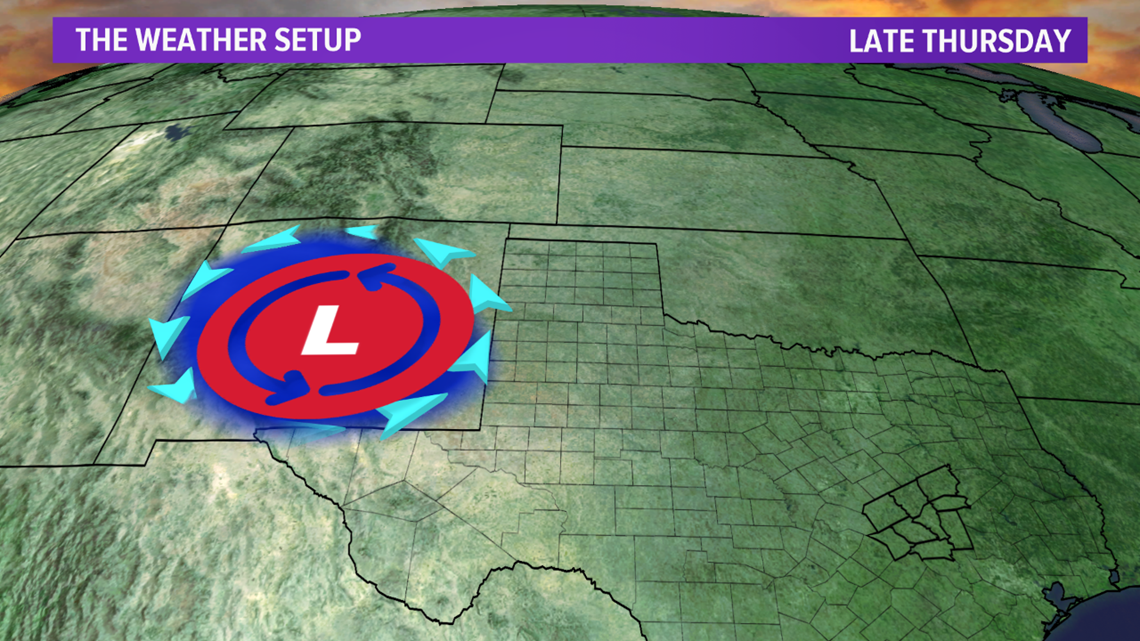
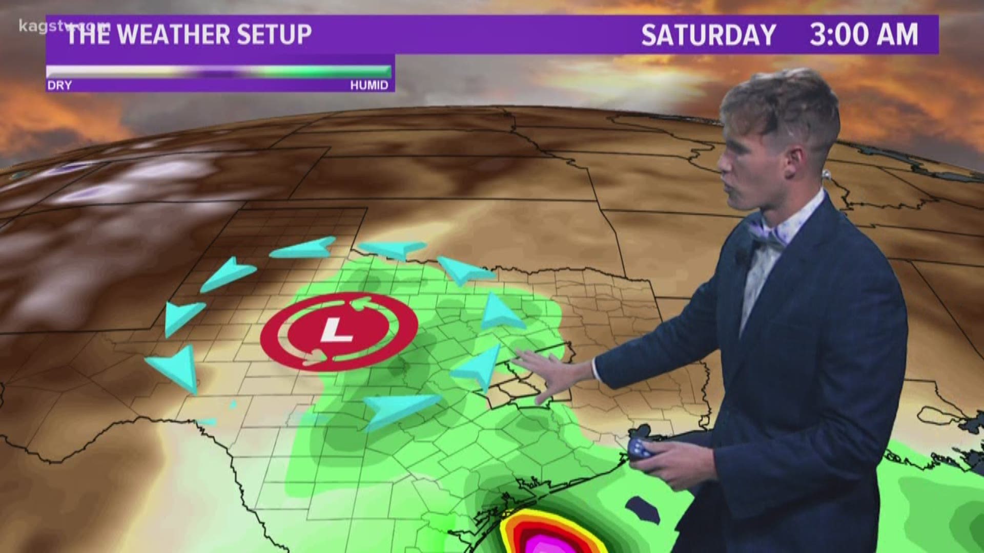
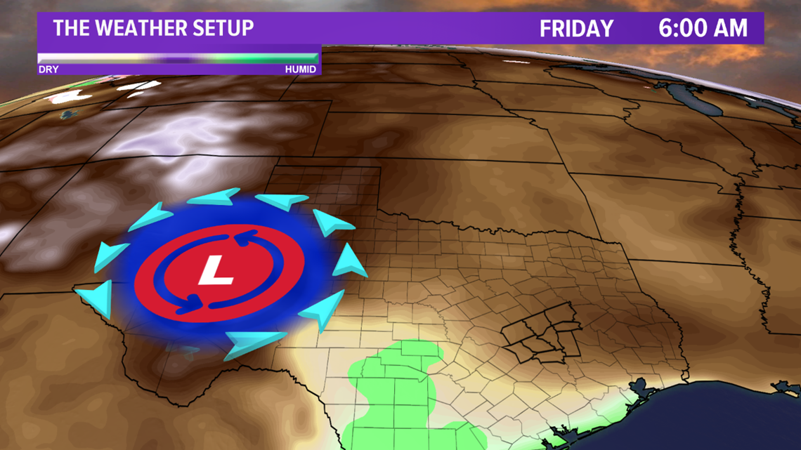
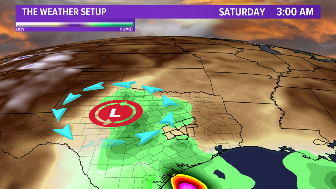
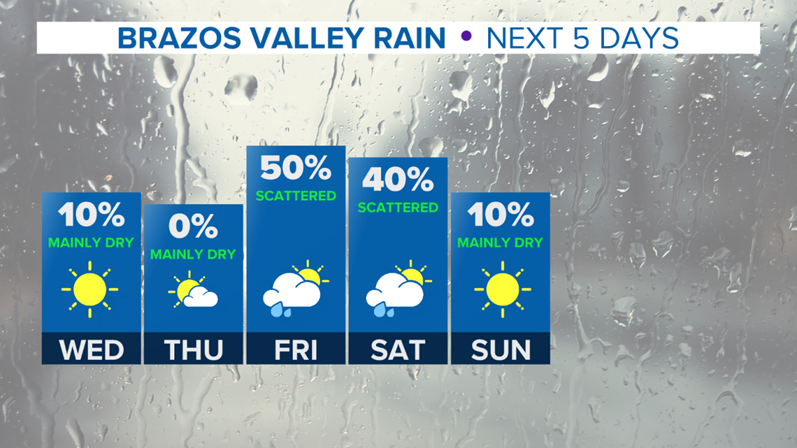
The storm system will move into western Texas on Friday, continuing to increase moisture. This will lead to rain chances increasing on Friday across the area. The storm system is essentially 'cut-off' from the main steering pattern so it will only slowly move Friday into Saturday across the state of Texas. This will keep rain chances in the forecast on Saturday. This slow movement will also ensure a better moisture return occurs on both Friday and Saturday.



Temperatures will gradually increase by early next week.

