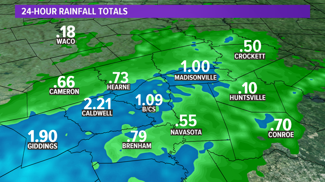
BRYAN, Texas — Tuesday shaped up to be a wet day across the Brazos Valley. Parts of the area saw 2-4" of rain.

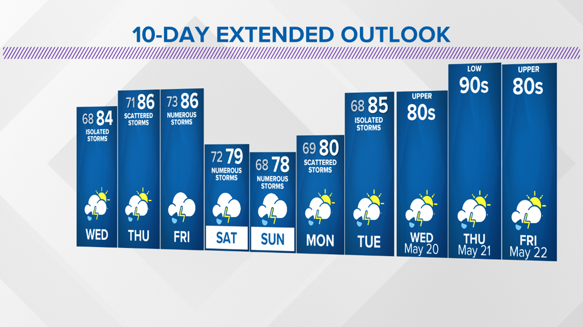
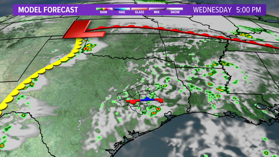
If you didn't receive your fair share of rain, don't worry, more rain is on the way this week through the weekend. Isolated afternoon storms are possible Wednesday afternoon. A residual outflow boundary should lie across the area, which will act to generate isolated storms with the touch of daytime heating. A weak upper-level disturbance may contribute to an uptick in thunderstorm coverage.

Another shot for thunderstorms arrives Thursday afternoon. It will be a similar setup to Wednesday with an outflow boundary over the area and another upper-level disturbance crossing the state.

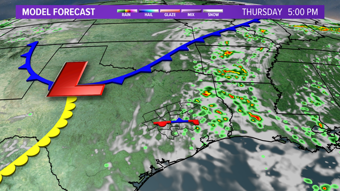
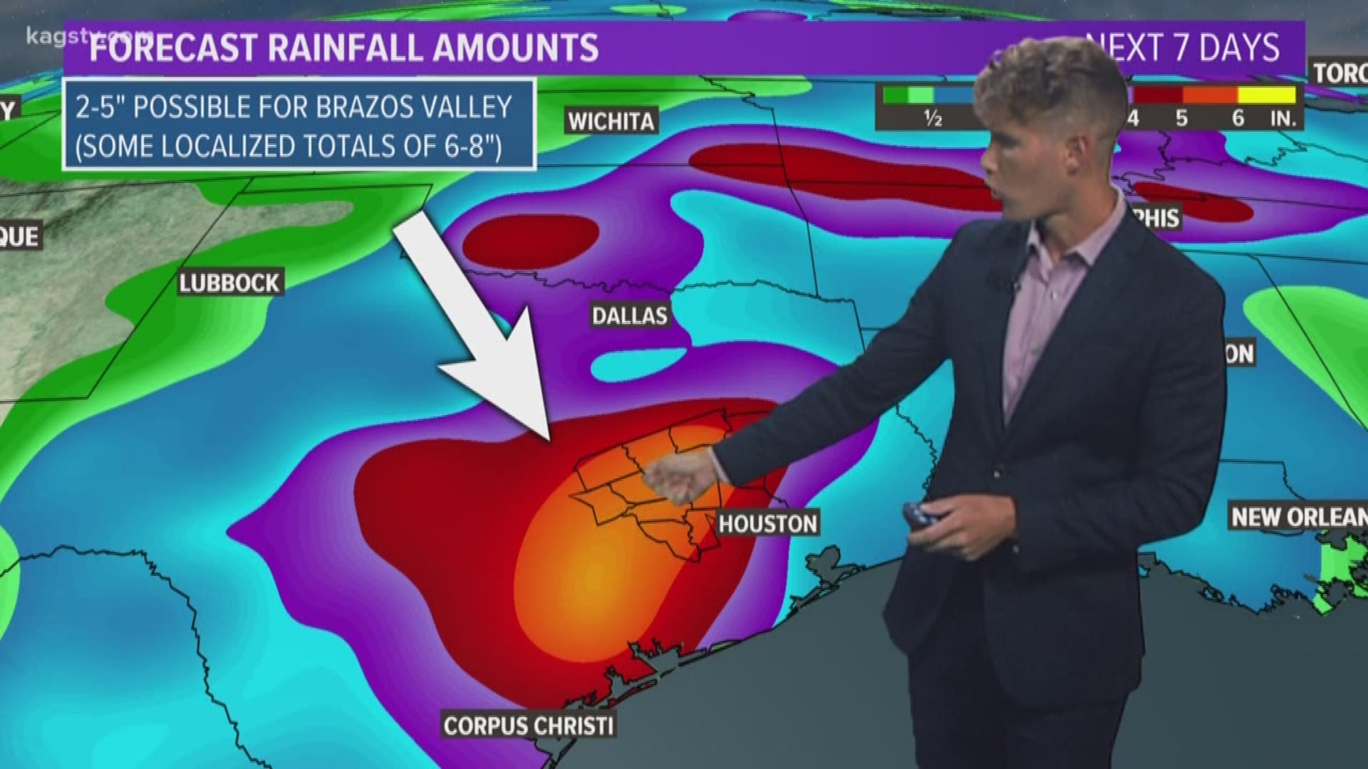
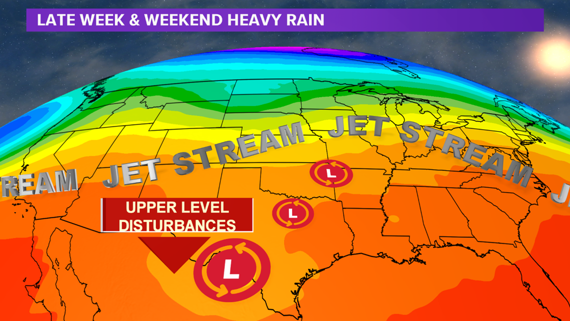
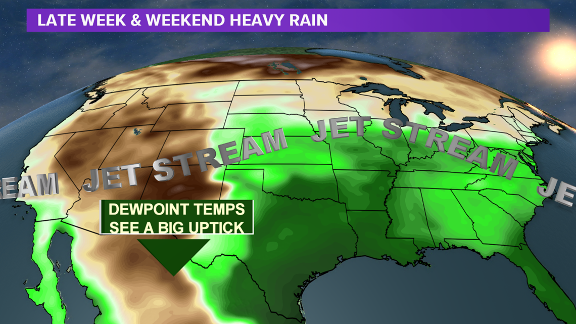
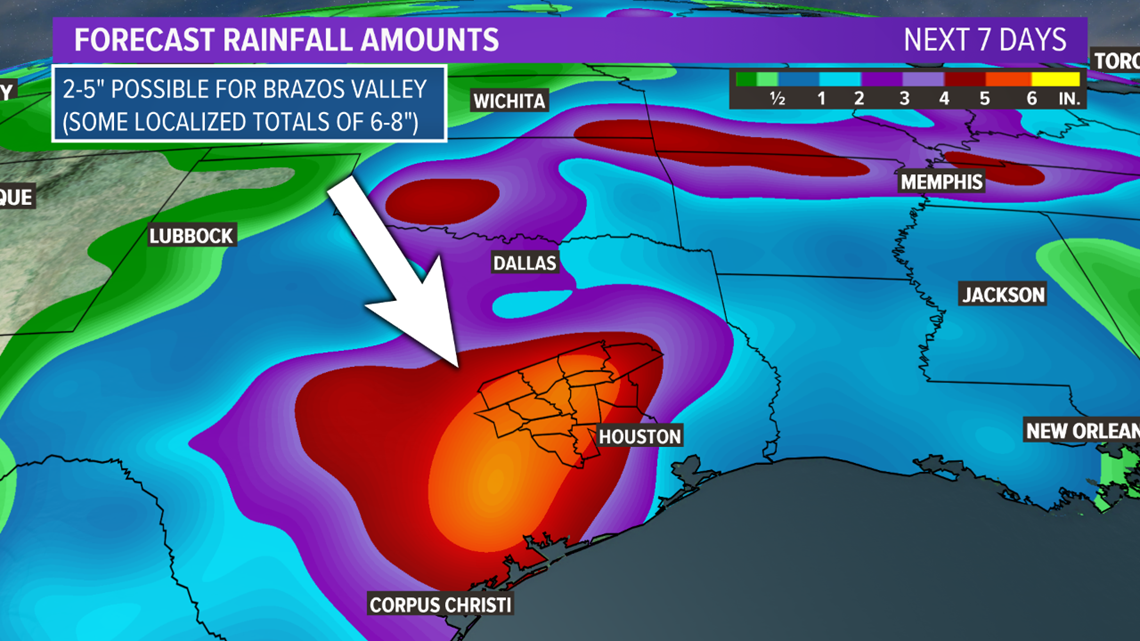
Additional widespread thunderstorm activity arrives from Friday through the weekend as an upper-level low moves toward Texas. This will lead to strong lift over the region. This lift, paired with a big uptick in dewpoints and high PW values, will lead to areas of heavy rain across central Texas and the Brazos Valley.



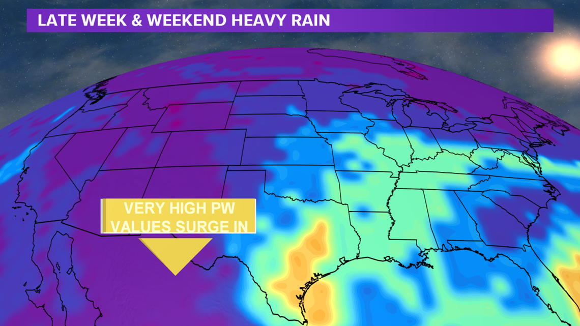
Isolated flooding is possible over the weekend. Guidance is indicating the Brazos Valley may receive 2-5" of rain with isolated 6-8" amounts.

Tropical troubles are possible this weekend. A subtropical cyclone may develop north of the Bahamas this weekend. The National Hurricane Center has given this a 50% chance of development over the next five days. This system is expected to remain well off of the Southeast Coast.

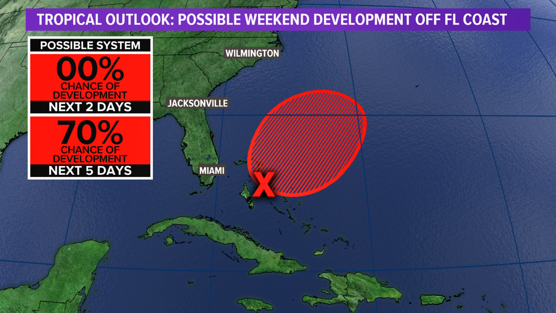
No tropical impacts will be experienced across the Brazos Valley but rain chances are in the forecast over the next ten days.

