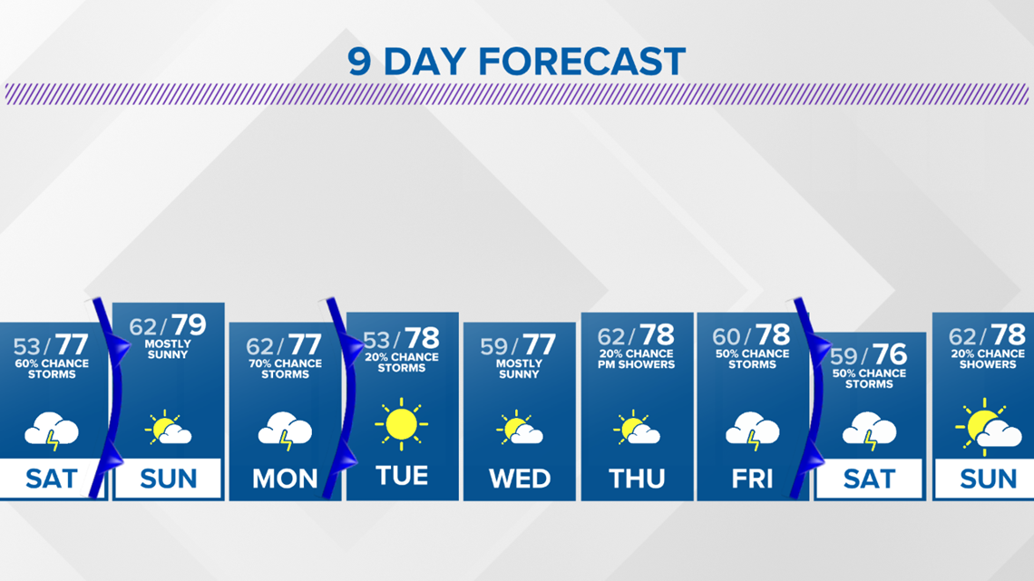
BRYAN, Texas — Weather changes are on the way to the Brazos Valley in the form of a Pacific Cold front. Before the cold front arrives, Saturday morning will start off muggy & mild with temperatures in the upper-60s & lower-70s. An isolated shower cannot be ruled out with rich gulf moisture in place.

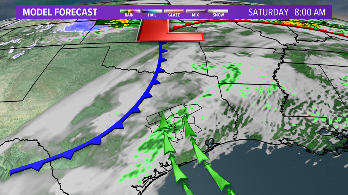

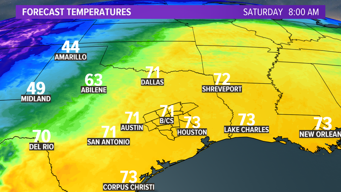
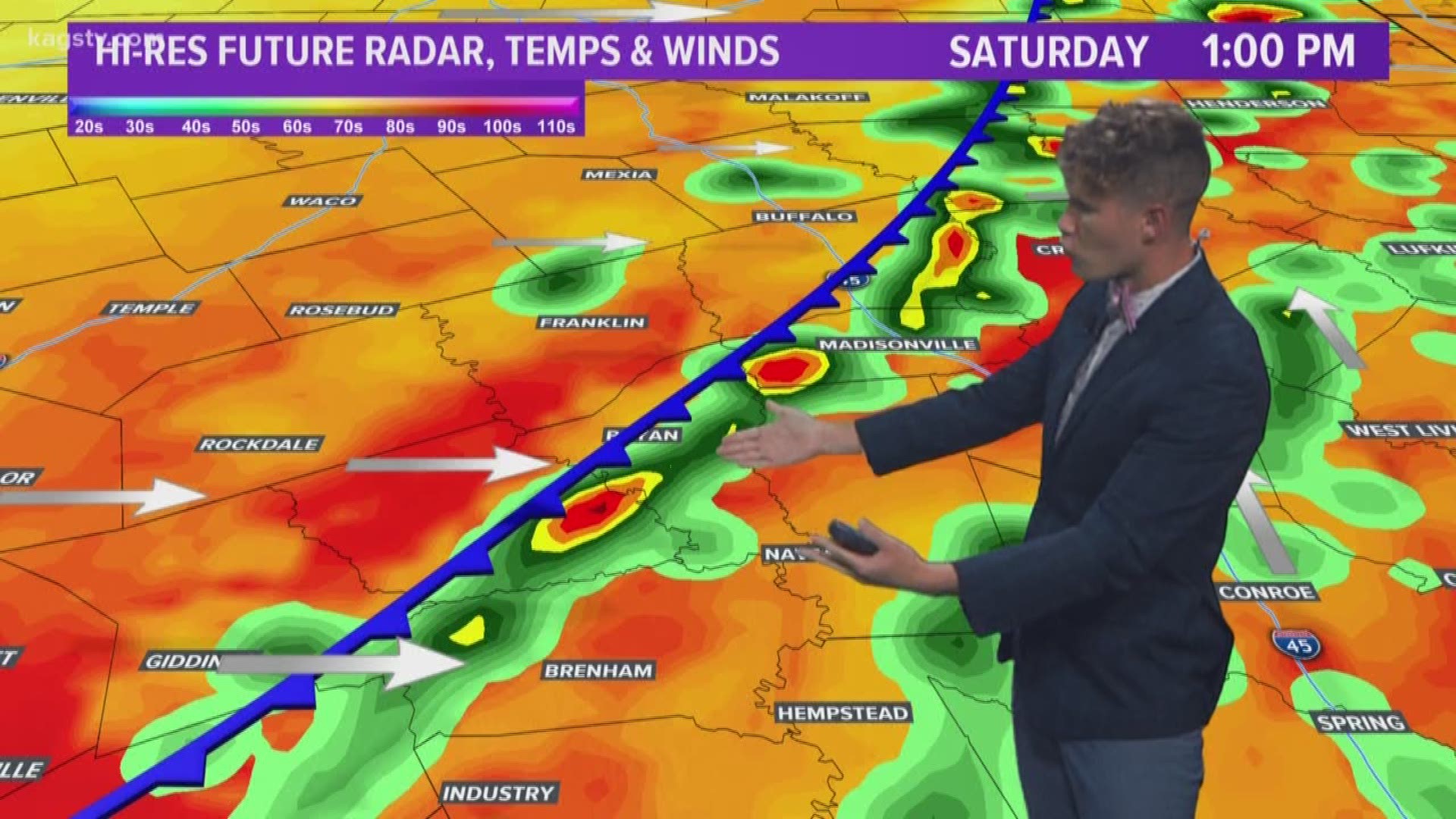
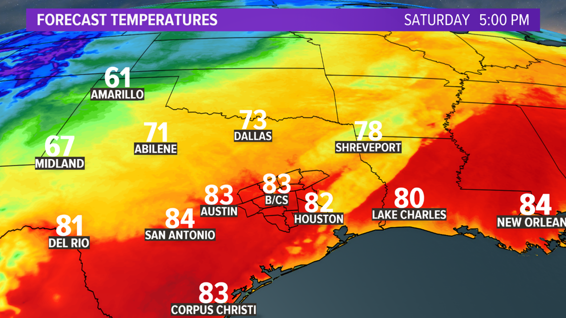
The changes arrive by late-morning into the afternoon hours as a cold front moves into the Brazos Valley. The cold front will generate a few showers and storms as it moves through. Storms will be very spotty in nature. Temperatures will climb into the upper-70s & lower-80s Saturday afternoon despite the frontal passage.

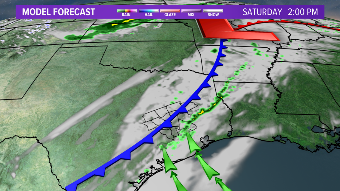

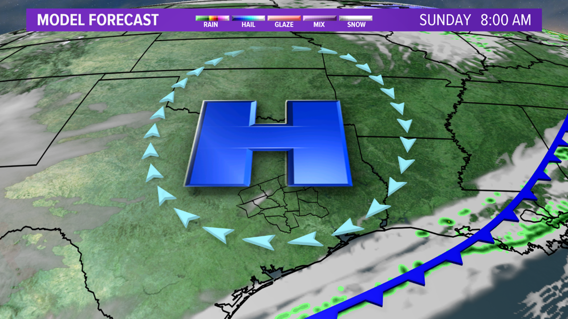
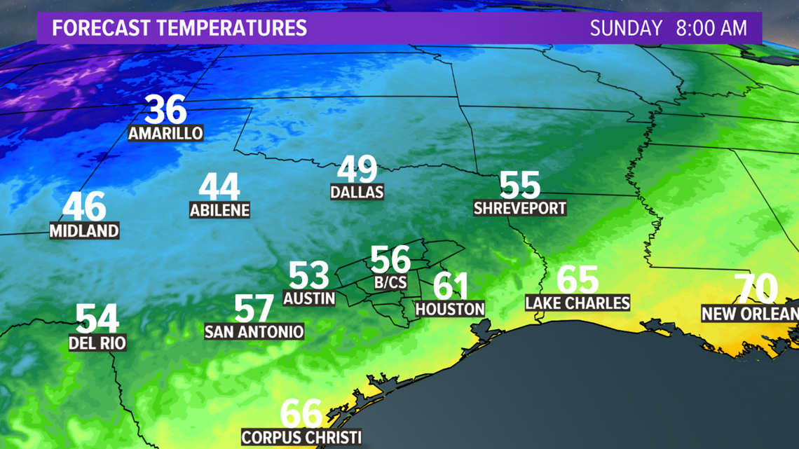
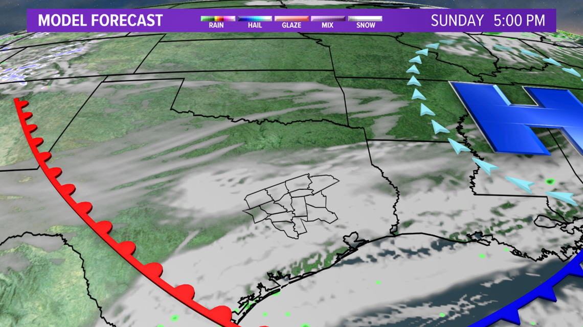
Drier air behind the cold front will allow Sunday morning to start out on the cool side as a surface high build over the Brazos Valley. Temperatures will fall into the low-50s Sunday morning.


The dry air will not stick around long. An approaching upper-level storm system will send a warm front north on Sunday. Warm & most air will increase across the area late-Sunday into Monday as the warm front continues to trek north. The storm system will move into the Plains on Monday, which will send a cold front southeast into Texas.

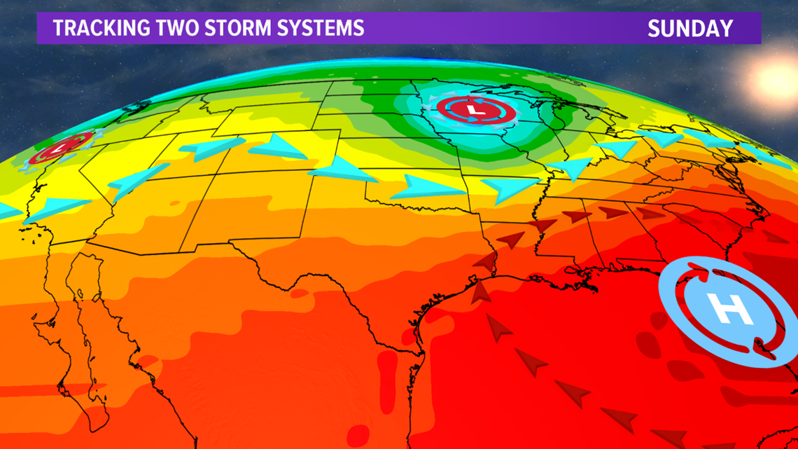

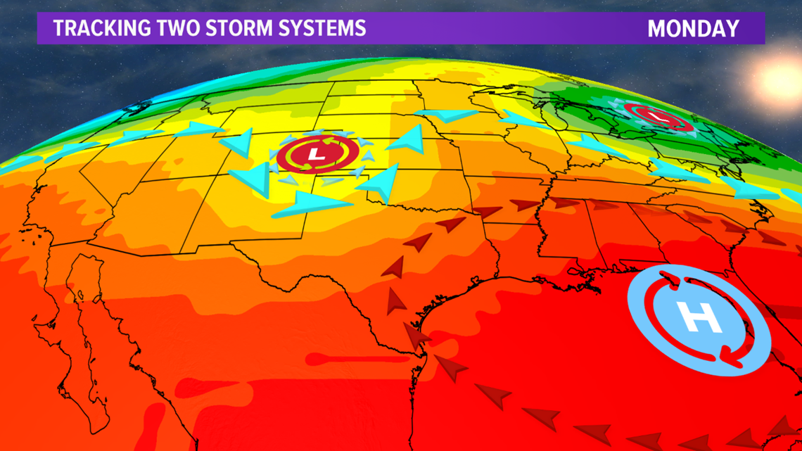

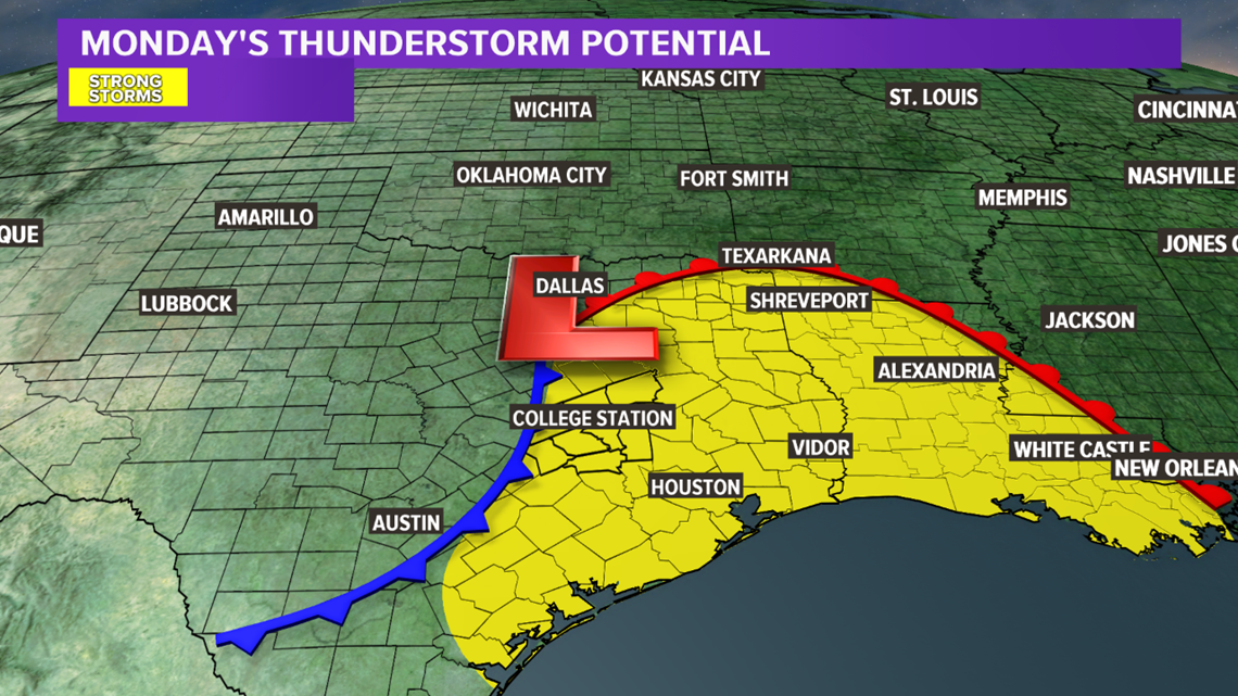
The Brazos Valley will be in a warm, moist & unstable atmosphere. This will set the stage for a few thunderstorms to develop along the cold front late-Monday. A few of these storms may be strong. It is too early to determine the main hazards but this will be ironed out over the next couple of days.

Mild temperatures stick around during the upcoming week.

